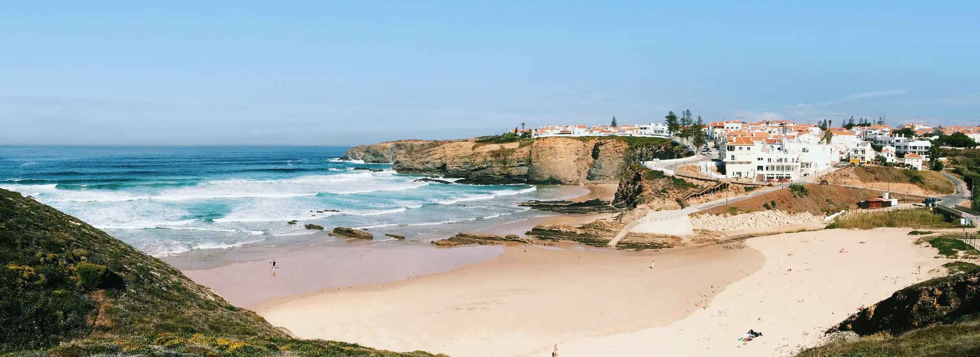
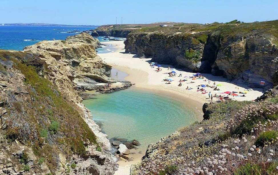
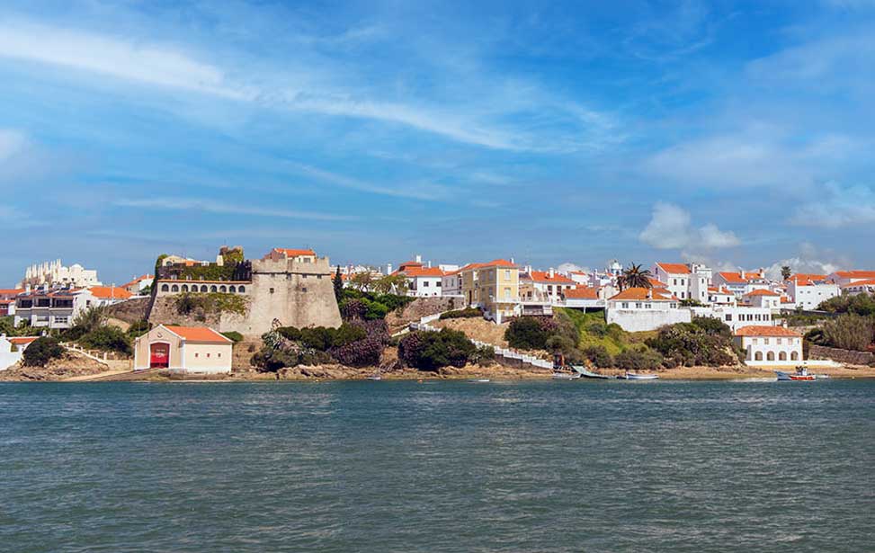
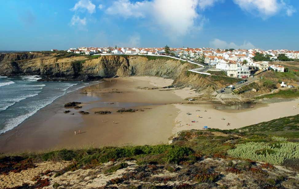
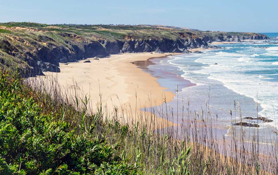
Spanning 150 kilometres (93 mi) along the south-western coast of Portugal, from Setúbal to the Algarve, the Alentejo Coast (Alentejo Litoral) is considered by many to be the last wild coast of Europe. Untamed and undeveloped this hidden coastline is also one of the most beautiful in the world.
From the tip of the Tróia peninsular in the north of the region to the ancient harbour of Sines is almost one long unbroken expanse of golden sands. Whereas south of Sines the coastline has been shaped by the mighty hand of nature into soaring cliffs, dunes and hidden coves.
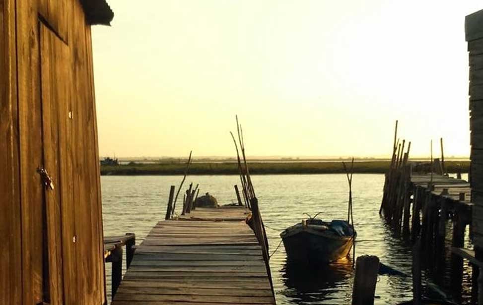
Traditions and nature together are preserved here. Dotted along the length are small traditional fishing villages that ooze charm and character. Here too are three important nature reserves; the Sado estuary, the lagoon at Santo André and the Natural Park of Southwest Alentejo and the Vicentina Coast. The resorts here are quiet and frequented mostly by those seeking peace and quiet. Active tourists take advantage of the wild nature of the Atlantic and the dramatic topography.
| Alentejo Coast (Alentejo Litoral)
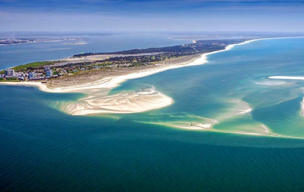
| Tróia Penninsula
The Alentejo coast begins where the Costa Azul ends on the southern bank of the beautiful Sado estuary. Ferries and catamarans from Setúbal traverses this tranquil spans of water, carrying both cars and foot passengers alike. Timetable
The opposite bank of the Sado estuary lies the long narrow sand bar of Tróia. 30 kilometres (19 mi) of unbroken beach, dunes and woodland are a great attraction for sunbathers and walkers alike. The flat topography makes it also ideal for cycling. The northern tip is where you'll find most development. Here too there is an exceptional 18-hole golf course. Halfway down are the remains of a Roman town, Cetobriga, destroyed by a tidal wave in 412 AD. It was an important fishing and trading post. [ More About ► ]
38º 29' 28.3" N | 08º 54' 26.8" W | Find a hotel deal in Tróia ►
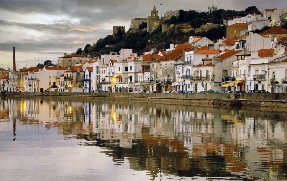
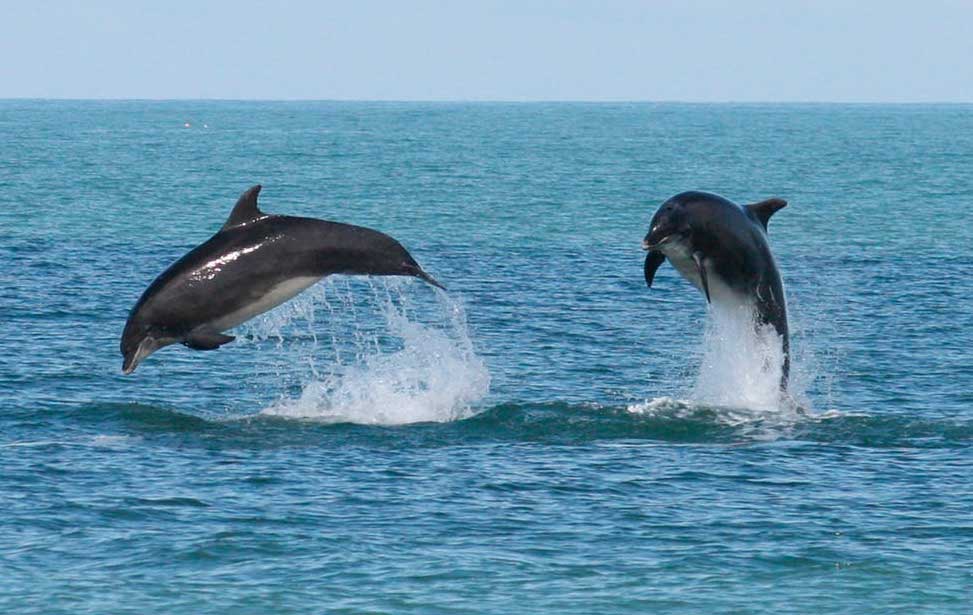
The attractive little town of Alcácer do Sal stands on the north bank of the Rio Sado 52 Kilometres (32 miles) from Setúbal and is set amongst salt pans, coniferous woodland and flooded rice fields. The town is crowned by a medieval castle. In its vaults is a superb museum that illustrates 2,700 years of history. The estuary is home to a pod of dolphins who menace the local fishermen by biting wholes in their nets to feed on the fish caught inside. The town was founded by the ancient Phoenicians in the sixth century BC. Under Roman rule, it was called Salacia and was a significant trading port [ More About ► ]
38° 22' 21" N | 08° 30' 47" W | Find a hotel deal in Alcácer do Sal ►
| Alcácer do Sal
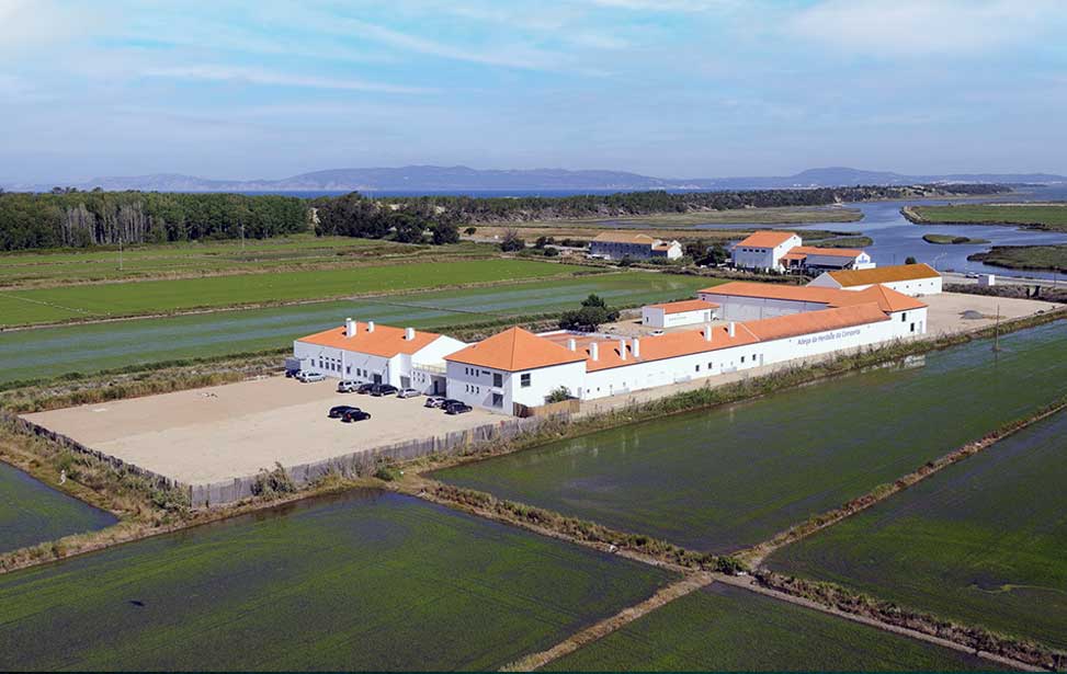
Comporta lies at the foot of Troia, it's a small village surrounded by salt marshes, vast rice paddies and vineyards, most of which belong to the Herdade da Comporta. The name Comporta derives from a word meaning a gate that holds back water - a lock. The flat landscape has been drained and is irrigated by a series of canals and protected by Atlantic winds by dunes. Around the villages, storks have made their nests in any advantage point. There are three Blue Flag beaches of pure white sand and crystalline waters that occupy this area; Praia da Comporta, Praia do Carvalhal and Praia do Pégo…
38° 22' 21" N | 08° 30' 47" W | Find a hotel deal in Comporta ►
Praia da Comporta
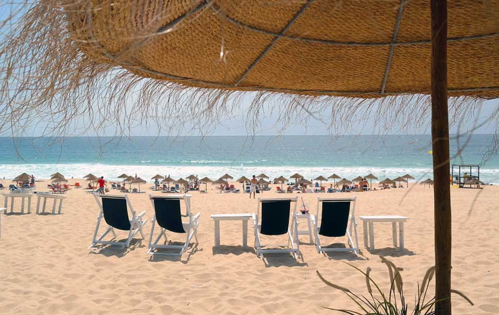
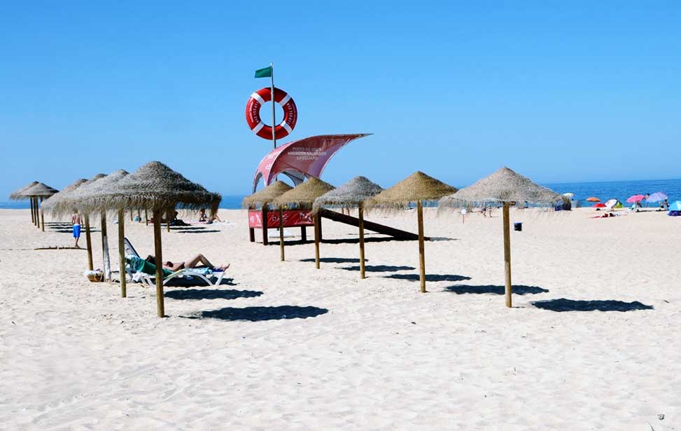
The beach at Comporta is a two-mile stretch of white sands west of the town. The dunes are impressive and traversing over them are a series of wooden walkways. From the waterside, the sea fades from bright turquoise to dark blue before melting into the horizon. As well as offering a great location for sun worshipers and brave bathers, the conditions here also make a great location for surfing and kite surfing. The parking is more than adequate for even the busiest season, with accessibility for the disabled. There are plenty of amenities such as a bar, restaurants, sunshades for rent, showers, WC's and lifeguards during peak season.
38º 22' 51.4" N | 08º 48' 13.2" W
Praia do Carvalhal
The beach at Praia do Carvalhal has easy access just off the Estrada Regional 2613 road and a short trip through the paddy fields just west of the village of Carvalhal. Wooden boardwalks traverse the dunes between the spacious car park and the mile-long expanse of beach. The beach is also serviced by a beach bar and restaurant. Popular with bathers and surfers alike. | 38º 18' 20.0" N | 08º 46' 49.7" W
Praia do Pégo Beach
A little further south of Praia do Carvalhal lies Praia do Pégo, which in turn opens up into the Praia da Raposa and the Praia do Pinheirinho. This long stretch of sand is backed by dunes and coastal vegetation that is protected by wooden walkways. | 38º 17' 32.8" N | 08º 46' 43.5" W
Aberta a Nova
On the northern edge of this beach, you'll find Praia da Galé - Fontainhas with its campsite and hamlet of holiday homes. The dunes are quite tall at this point however they subside the further south you go until you reach the mouth of the Ribeira das Fontainhas stream, where it empties onto the beach. At the most southern end is the broad expanse of sand which is the Praia da Vigia which is the shore to both the Atlantic and the Lagoa de Melides lagoon. This area is on the whole untouched by human development and is home to rare fauna, flora and waterfowl. Its remoteness also attracts nudists as well as those who have other reasons to seek solitude. Found within the small settlements in the area you can find adequate parking, sanitation, bars, restaurants and accommodation. | 38º 10' 39.1" N | 08º 47' 30.2" W
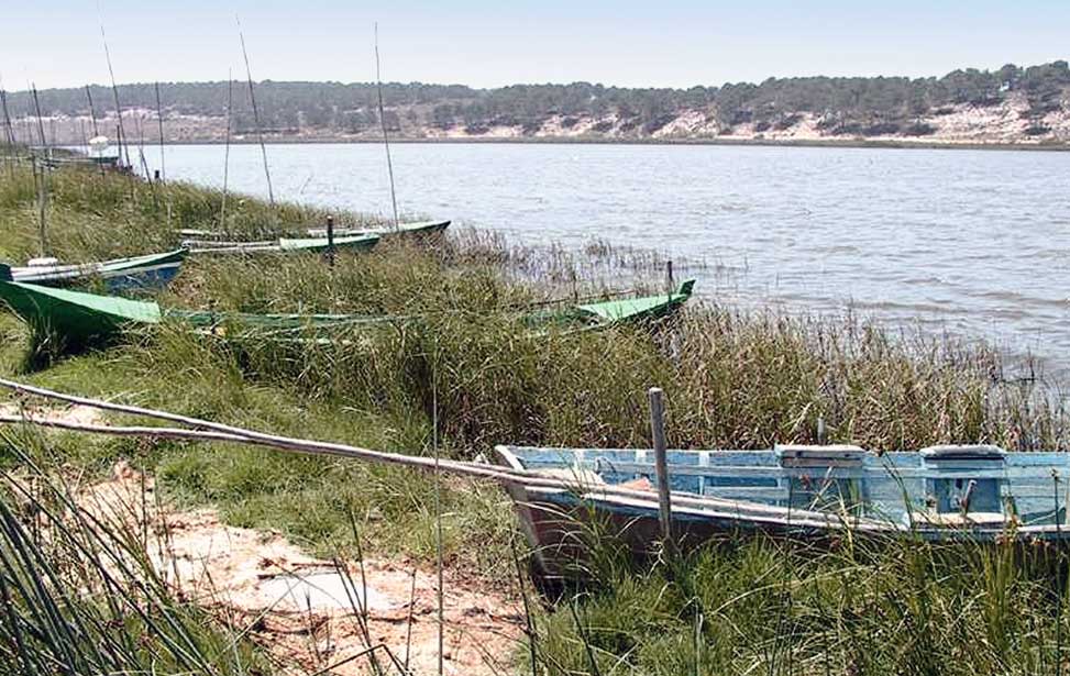
North of Sines there is a large area of tidal marshland, dunes and shallow lagoons known as the Lagoas de Santo André and Sancha Natural Reserve and extends fifteen kilometres (10mi) inland. The largest of the lagoons is the Lagoa de Santo André with an area of 500 hectares.
This diverse landscape consisting of fresh and seawater ecosystems, willow plantations, reed beds, saltmarshes, heathland and wetland pastures is a haven for wildlife. It's believed there are up to 241 species of birds who take advantage of these wetlands, the reserve's emblem is the Eurasian reed warbler. Humans too are attracted to the area in search of activities such as rambling, hiking, canoeing and windsurfing.
38º 06' 05.9" N | 08º 47' 30.2" W | Find a hotel deal in Tróia ►
| Lagoa de Santo André
| Santiago do Cacém
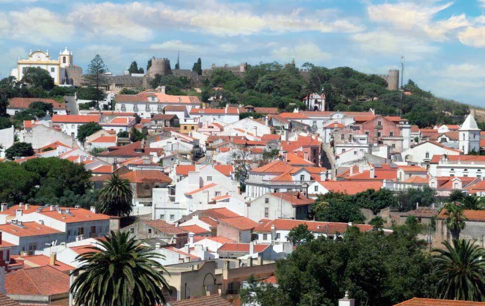
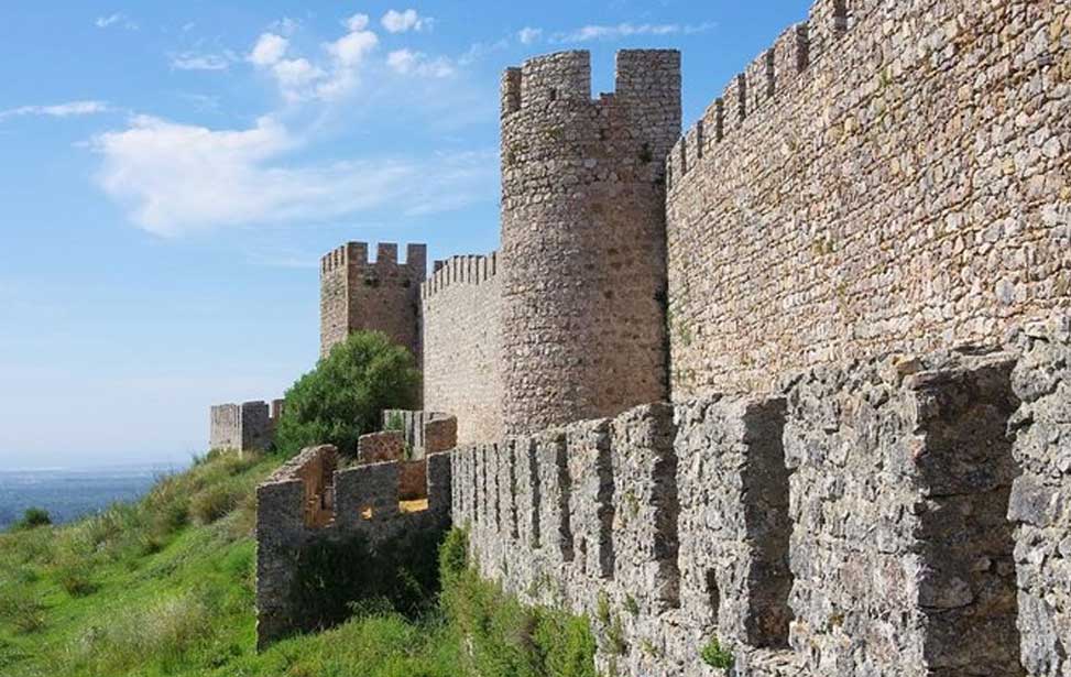
The nearby settlement of Santiago do Cacém is a quaint little town overlooked by a castle and makes the ideal base for exploring the area with regular bus services to the local beaches. The crumbly old town clambers up a hillside to meet the old fortifications. The castle was first built by the Moors and after the Templar Knights conquered the area in 1217 they rebuilt it. The castle was garrisoned by the Order of Santiago de la Espada in the middle ages but now is home to a cemetery for the adjoining Igreja Matriz De Santiago Do Cacém church. It's open to the public and it's possible to walk the ramparts where distant views to the lagoon system await. The castle was declared a national monument in 1910.
The new town occupies the lower ground where the town market is the centre of activity and is well worth a visit. The Museu Municipal is housed within a former prison and is noted for its archaeological artefacts and coins. Close by are the Roman ruins of Miróbriga where you can find a cluster of homes with their mosaic floors still in place. The remains of public buildings can also be seen including the forum and thermal baths.
[ More About ► ] | 38º 10' 39.1" N | 08º 47' 30.2" W | Find a hotel deal in Santiago do Cacém ►
Praia da Costa de Santo André
At the point where the Lagoa de Santo André meets the sea is the two-mile-long Praia da Costa de Santo André Beach. With the Atlantic on one side and the lagoon on the other, the beach displays a unique beauty. The beach is backed by dunes on which there's broad biodiversity. The sea here is enticing and has good surf, although undercurrents here can be strong. During the summer buses run from Santiago do Cacém 16 kilometres (10mi) away and the Estrada Regional 261 allows easy access. There are a couple of restaurants close at hand and a hostel. Additional amenities can be found in the village of Vila Nova de Santo André nearby. | 38º 06' 50.6" N | 08º 47' 54.6" W
Praia da Fonte do Cortiço
A little further south within the Reserva Natural das Lagoas de Santo André e da Sancha lies a gem of a beach, complete with blue flag status. Stretching a little more than a mile the sands are flanked by dunes traversable via a series of boardwalks. Walkways also lead to the Sancha Lagoon through the nature reserve. Amenities include ample parking, a bar, a restaurant and a picnic area. The village of Vila Nova de Santo André is close by as is the KAKI Go Karting Track. | 38º 03' 20.7" N | 08º 49' 17.9" W
| Praia da Costa de Santo André
| Sines
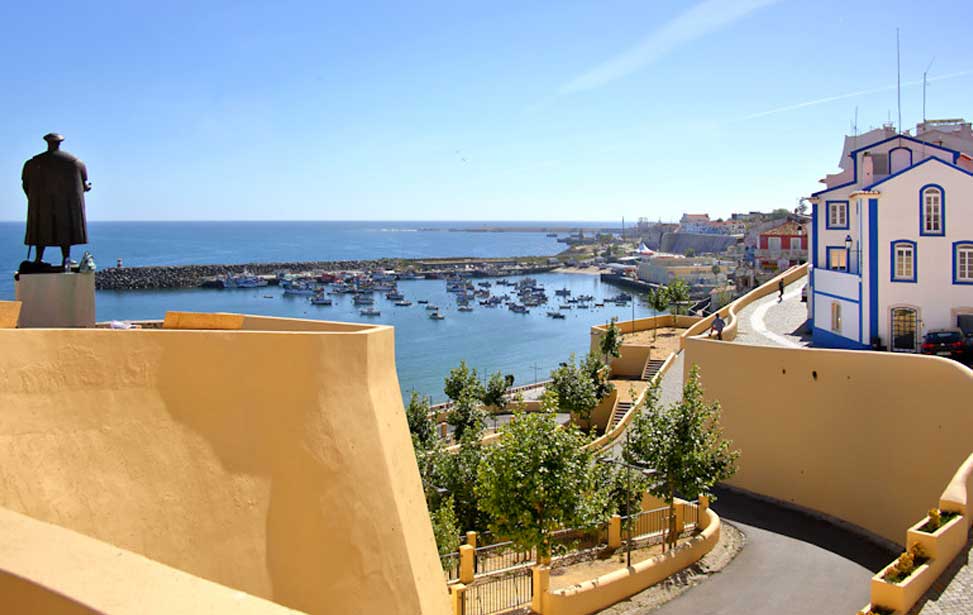
Sines started out as a traditional fishing village, famed for being the birthplace of Vasco da Gama in the 15th century and possibly dates back to Roman times. However, during the 1970s Sines underwent major redevelopment with the construction of Portugal's largest port along with an oil refinery and the petrochemical industry that accompanies it. That said some vestiges of the fishing village still remain and are worth a visit when in the area, such as the recently restored 13th-century castle and its small museum and some old churches. Human occupation actually goes far back to Roman times when it was called Sinus and was an important trading outpost. [ More About ► ]
37° 57' 21.9" N | 08° 52' 04.8" W | Find a hotel deal in Sines ►
Praia Vasco da Gama Beach
The castle of Sines looms over the stretch of sand that is the Praia Vasco da Gama Beach. Located within the marina resulting in calm, if not a little oily, waters. The promenade is popular with strolling lovers and anglers alike. Nocturnal activities such as concerts happen here frequently. | 37º 57' 10.7" N | 08º 51' 54.5" W
The coast south of Sines has an undeniably rugged beauty, which albeit a few coastal villages, is mostly undeveloped. One hundred kilometre stretch of this coastline is sometimes marketed as the Costa Dourada. Running south of Sines all the way down to the Cabo de Sao Vicente in the western Algarve. Much of this area falls within the Parque Natural do Sudoeste Alentejano & Costa Vicentina nature reserve as is protected by law. The remainder of our guide to the Alentejo Coast falls within the Costa Dourada.
From Sines, there is a minor road that hugs the coves and high dunes as far as Porto Corvo. The coastal road meanders past quaint coves and secluded beaches. Each beach is serviced by good parking there isn't very much else and amenities are non-existent for the most part. At Praia de Morgavel and Praia da Navalheira there are a few eateries thanks daily to the nearby campsite.
37º 54' 26.3" N | 08º 47' 57.9" W
The beach widens at the Praia de Vale Figueiros and Praia da Oliveirinha beaches which have their own access roads. Surfers here take advantage of the wilder swell here. There's a beach café and surf school at Praia de Vale Figueiros. 37º 53' 42.4" N | 08º 47' 49.8" W
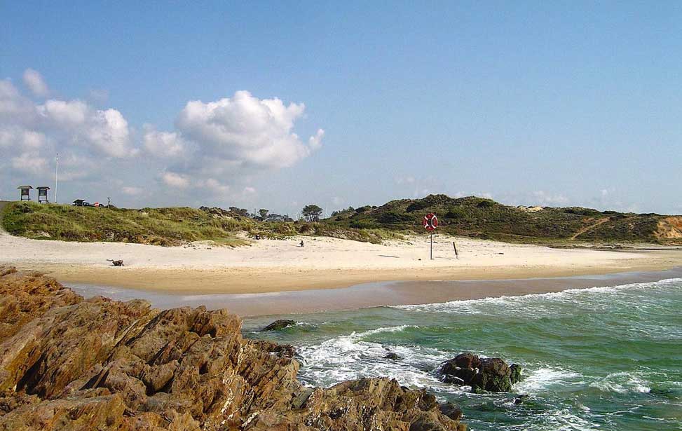
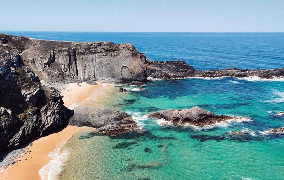
The coastal road continues snaking its way through grassy dunes past secluded beaches and beautiful landscapes. The waters of the Atlantic with shades of turquoise and blues lap up over extraordinary rock formations without a soul in sight. It's not until you get close to Porto Covo you'll see any number of fellow visitors. Several small coves offer some shade during the hottest days of summer.
| Praia de Morgavel
| Porto Covo
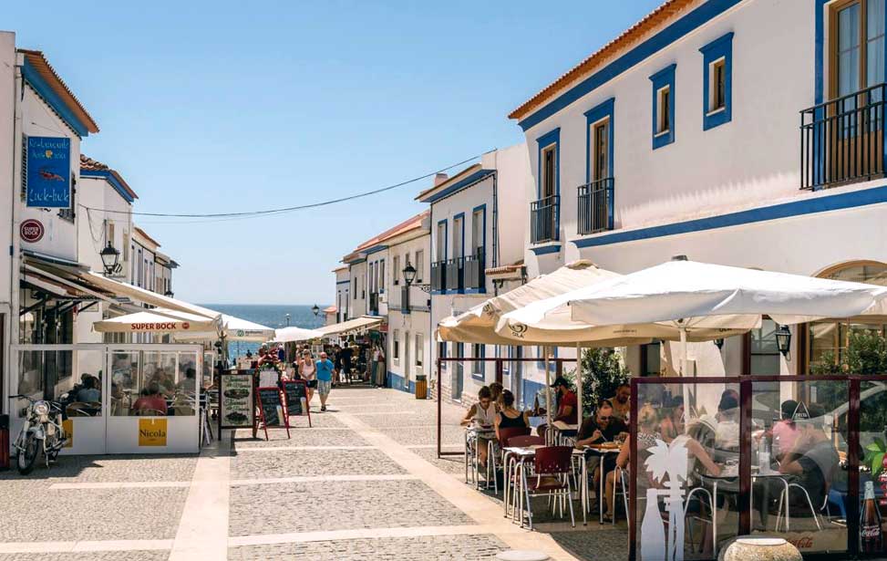
Once a fishing village Porto Covo's main source of income now is tourism. There are enough vestiges of the town's heritage to make Porto Covo an attractive destination. In the centre, amongst the cobbled, whitewashed streets, is the pretty main square, Praça Marquês de Pombal. It has been tastefully restored and is a hub of activity. There are several quality restaurants in the square that specialise in locally caught seafood. The pedestrianised Rua da Vasco da Gama runs from here directly to the seafront and paths that provide access to the coves and beaches.
In the small harbour fishing boats still bob up and down but now are used for ferrying people to the Ilha do Pessegueiro (Peach Tree Island). Albeit the vast amount of visitors Porto Covo receives during the holiday season, the town does well to maintain a very laid back atmosphere. Porto Covo is the destination of choice for those who want to avoid noisy bars and the party scene. The great number of holiday homes that have sprung up in the outskirts indicate are a reflection of the family orientated holidaymakers who frequent here. Buse services connect Porto Covo with Santiago do Cacém, Vila Nova de Milfontes, Almograve and Zambujeira do Mar. | 37º 51' 25.7" N | 08º 47' 37.4" W | Find a hotel deal in Porto Covo ►
Praia da Ilha do Pessegueiro
This extensive sandy stretch is situated a few kilometres to the south of Porto Covo. It has a backdrop of sand dunes and coastal grasslands which is an ecosystem for rare fauna and flora. The view out to sea is dominated by the Ilha do Pessegueiro. On high ground close by a 16th-century fort (Forte de Nossa Senhora da Queimada) overlooks the beach. The feels secluded and offers a quiet hideaway from the busier beaches closer to Porto Covo. A few basic facilities are located here, including a car park and a café, but the beach is not patrolled by lifeguards.
From the beach, you can take a boat ride to Ilha do Pessegueiro (peachtree island), although you won't find any peach trees there. Instead, there are remains of the Forte do Santo Alberto. Here too there are Roman ruins. It is believed that the name of the island is derived from the Latin word "piscatorius" which means a fish salting factory. | 37° 49' 47.6" N | 08° 47' 31.3" W
Praia do Queimado – Praia da Angra da Barrela
Further south the beaches become even more remote and isolated. Long stretches of narrow sands, backed by grassy dunes, run eight kilometres (5mi) continuously from Praia do Queimado and Praia da Angra da Barrela. Here access roads tumble over bumpy terrain and a network of coastal paths are a great choice for hiking. Accommodation in the area is rural yet prices are surprisingly modest.
| Praia da Samoqueira
| Vila Nova de Milfontes
20km (12mi) south of Porto Covo is the Rio Mira estuary with its broad sandy banks gradually merging into the coastline. At the mouth of the river, the pretty village of Vila Nova de Milfontes occupies the northern bank. Time seems to just tick away slowly here as it has done for generations. The old town oozes charm and surrounds the Forte de São Clemente fortress that guards the mouth of the river. The expansion of the new town and the endless street of holiday homes suggest Vila Nova de Milfontes however, for now at least, it feels more like a secret get-away location of the Portuguese know of.
The Alentejo coastline remains the quietest in Portugal the area around Vila Nova de Milfontes is home to many of Portugal's longest-running surf schools and other centres of marine activity. Milfontes is known as one of the best beginners to intermediate surfing spots in Portugal. The port of Vila Nova de Milfontes has long been a sanctuary for sailors keen to escape the brutal Atlantic storms. Legend speaks of Hannibal and his Carthaginian army taking shelter here.
The Avenida Marginal road leads visitors from the town centre to the coast terminating at a lighthouse and the Praia do Farol beach. The most popular beaches close to the village are the most popular and get busy during peak times. If you desire more seclusion there's a ferry that will whisk you across the estuary to the beaches on the southern bank. The ferry departs from a jetty below the fortress. 37º 43' 07.1" N | 08º 47' 26.1" W
Find a hotel deal in Vila Nova de Milfontes ►
Praia das Furnas
This is a wide beach formed by the deposition of sand where the river Mira joins the sea. Here the waves have cut small coves and caves into the cliffs that form the backdrop to the beach. Care should be taken when swimming in the river side, tidal currents can be strong here. | 37º 42' 53.5" N | 08º 47' 10.2" W
Almograve
As you travel south of Vila Nova de Milfontes the coastline becomes progressively more rugged and breathtaking. Ten kilometres down the coast is the pretty hamlet of Almograve which is little more than a cluster of holiday villas. A road from Almograve will lead you over a dune system to Praia de Almograve beach. The waves here are quite brutal, especially at low tide. People flock here for its dramatic beauty. Dedicated boardwalks traverse the high dunes and make pleasant strolls. In the village, there's several bars and restaurants as well as accommodation. Buses stop in the centre. | 37º 39' 8.25" N | 08º 48' 7.5" W
| Praia de Almograve
| Zambujeira do Mar
29km (18mi) south of Vila Nova de Milfontes is the most Southernly town on the Alentejo Coast and is probably the most visited by a foreign, backpacker crowd and surfer types. Yet Zambujeira do Mar has kept much of its picturesque Alentejan charm and is not overdeveloped. The town seems to spread straight up to the seafront as the main street stops at the top of a cliff overlooking amazing sea views. There are numerous restaurants along this strip where you may enjoy wonderful locally caught grilled fish. The town has grown way beyond its fishing village roots with large estates of holiday villas on its outskirts, however, there are no highrises to spoil the tranquillity of the place.
Four days each August Zambujeira do Mar comes alive when the town hosts the Sudoeste Festival, one of the largest music and arts festivals in Portugal. Thousands of visitors flock here each year from all over Europe to see big names perform. Website |
| 37º 31' 19.8" N | 08º 47' 13.3" W Find a hotel deal in Zambujeira do Mar ►
Praia da Zambujeira do Mar
The beach is protected by an imposing cliff that gentrifies the Atlantic breezes. The North end of the beach is overlooked by the Capela da Nossa Senhora do Mar chapel and a viewpoint. The south side has a sliproad that leads to the sands. This broad half disappears during high tide and is the most popular, especially on weekends. There are clifftop paths that lead to more secluded coves and beaches north and south of the town.