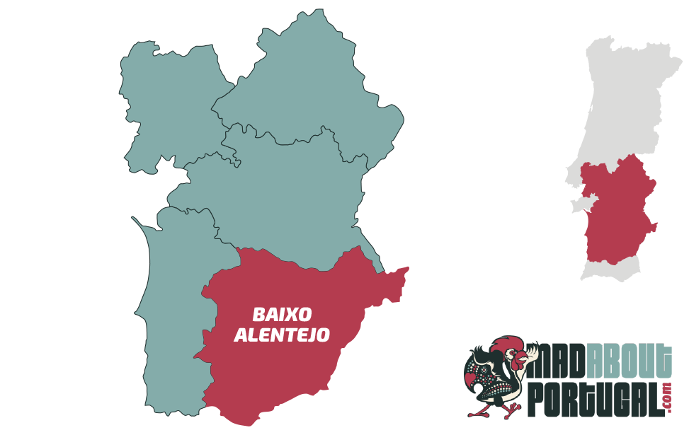
| Baixo Alentejo Map © Mad About Portugal. All rights reserved.
The Baixo Alentejo borders the Algarve in the south, Spain to the East, Alentejo Literal and the Alentejo coast to the west. For the most, the landscape is composed of rolling pastures, cork oaks, sunflower farms, vineyards and olive groves. Age-old towns are broadly spaced and where the pace of life is slowed to a donkey's pace. Things were not always so peaceful in the area. Turbulent history is preserved in the region's castles and town walls. The attractive hilltop town of Mértola retains an old town that's known as a living museum. The area contains archaeological sites dating back to the Islamic period. Beja is the region's county town and its museums are full of Roman and Visigoth artefacts. The old town of Moura maintains the original Moorish street layout.
| Alvito
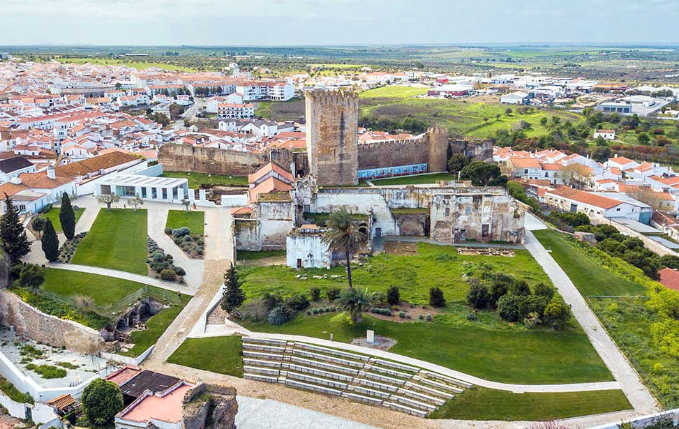
Pousada Castelo de Alvito is a renovated 15th century castle in the village of Alvito, with superb gardens and a swimming pool.
[ More About ► ]
Alvito may be a small place but it oozes charm and an abundance of medieval features. The distinctive whitewashed houses are typically Alentejan in style and in the oldest parts the houses have carved sixteenth-century windows and arched doorframes. There's a well-preserved 15th-century castle that dominates the town centre and now serves as a pousada. In the square opposite one corner watchtower lies the town's Pelourinho. A long Moorish presence in the region has left distinctive marks in the Mudejar architecture clearly visible on the castle and various other monuments around town such as small cupolas and white conical pinnacles.
The fine-looking 16th-century Igreja Matriz is a fine example of local architecture, a mix of Manueline and Mudejar styles. Its Renaissance portal leads into the interior, its walls covered in azulejo panels whose beautiful patterns are a harmonious blend of blue and yellow. In the upper choir, there is a large seventeenth-century altarpiece of carved and gilded wood. The same styling can be found on the Ermida de São Sebastião chapel on the edge of town and offers fine views across the cultivated plains below.
East of Alvito on the road to Beja are the Ruinas Romanas de São Cucufate. It's a large excavation of a Roman villa and farmstead. Parts of the estate were reused in the 9th century as part of a monastery. The walls still show remnants of religious frescoes. In addition to the remains of the monastery and Roman villa, there are the foundations of a Roman bathhouse dating from the first century AD, grain stores, oil presses and servants’ quarters. Archaeological finds are displayed in the Núcleo Museológico de São Cucufate museum in the nearby village of Vila de Frades.
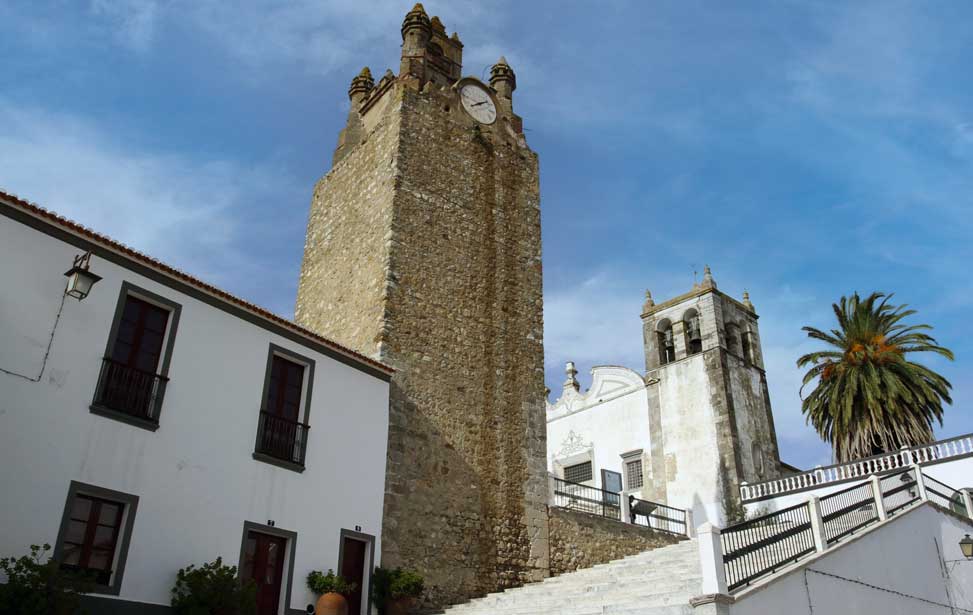
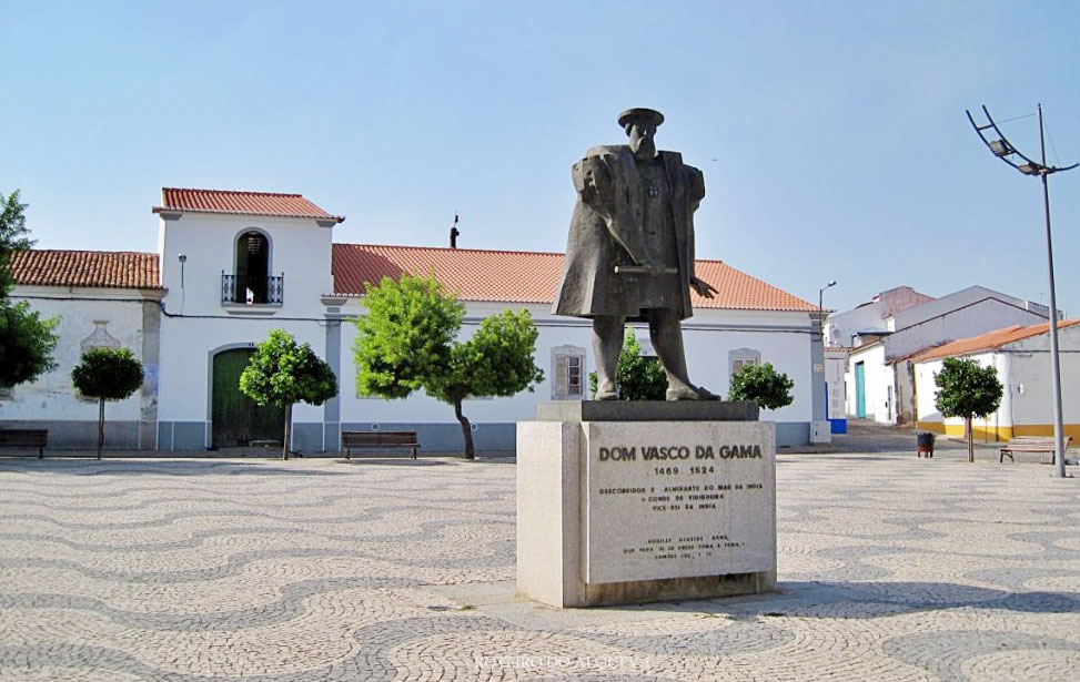
The area around Vidigueira was liberated from the Moors by Dom Sancho II in 1235 and the oldest elements of town bear the scars of slings and arrows of outrageous fortune. Vidigueira is famous for two reasons, one for its wine and secondly because Vasco da Gama was the town's first Duke. The most striking features of the town are the ruins of a 15th-century castle and a distinctive Torre do Relógio clock tower.
The castle was originally constructed at the request of Dom Afonso III (1248-1279) over the remains of a Roman fortification. The Castle of Vidigueira is associated with the first of the Count of Vidigueira: Vasco da Gama. Sadly, the only items remnants of the castle today is the keep. In 1520 Vasco da Gama donated a bell to the Torre do Relógio that still rings today.
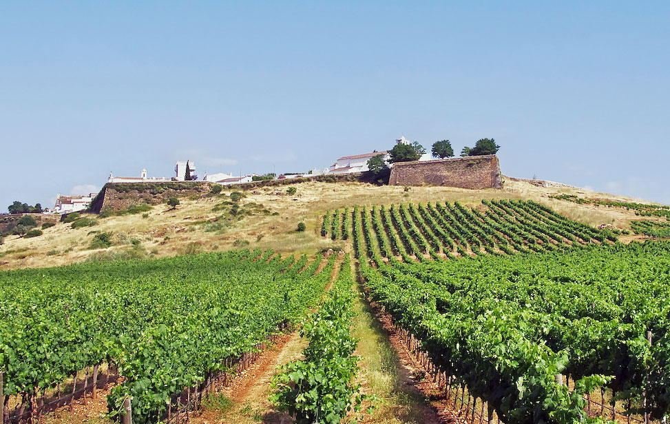
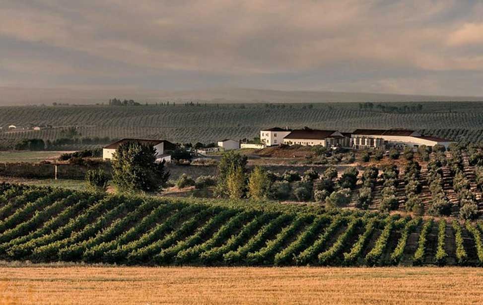
Vidigueira is a land of small vineyards. The town's name is thought to derive from the word "Vine". The area is a highly regarded sub-region of the larger Alentejo appellation and the wines are known throughout the world. The local climate, soils and long heritage of making wine are favourable to wines of the finest quality. Some wineries have rejuvenated the ancient Roman technique of ageing wine in clay amphorae. Many vineyards of the area offer tours and tastings to visitors
| Vidigueira
| Moura - Mouraria (Moorish quarter)
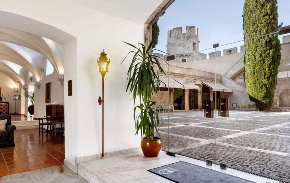
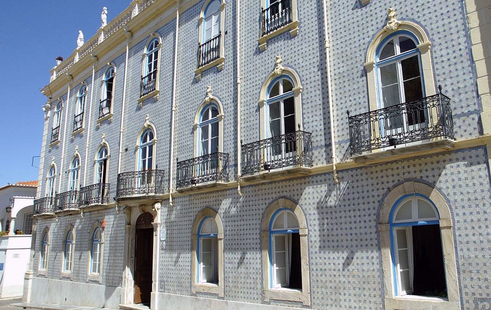
Hotel de Moura is set in a listed 17th-century historic building decorated with typical tile-work. It features an interior patio, a noble staircase and a garden with a pool.
[ More About ► ]
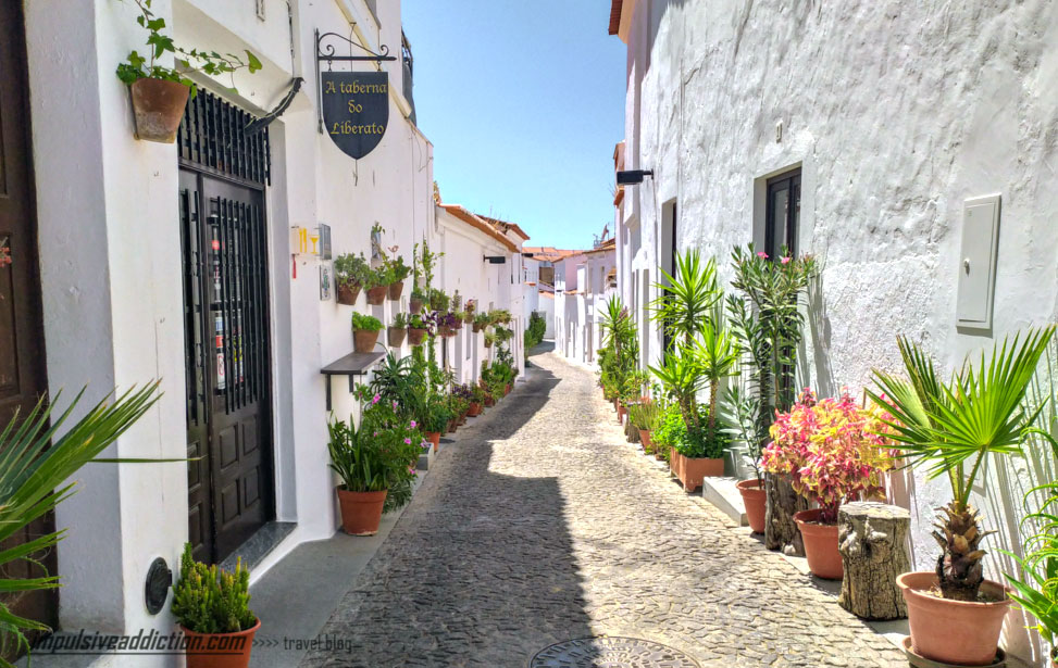
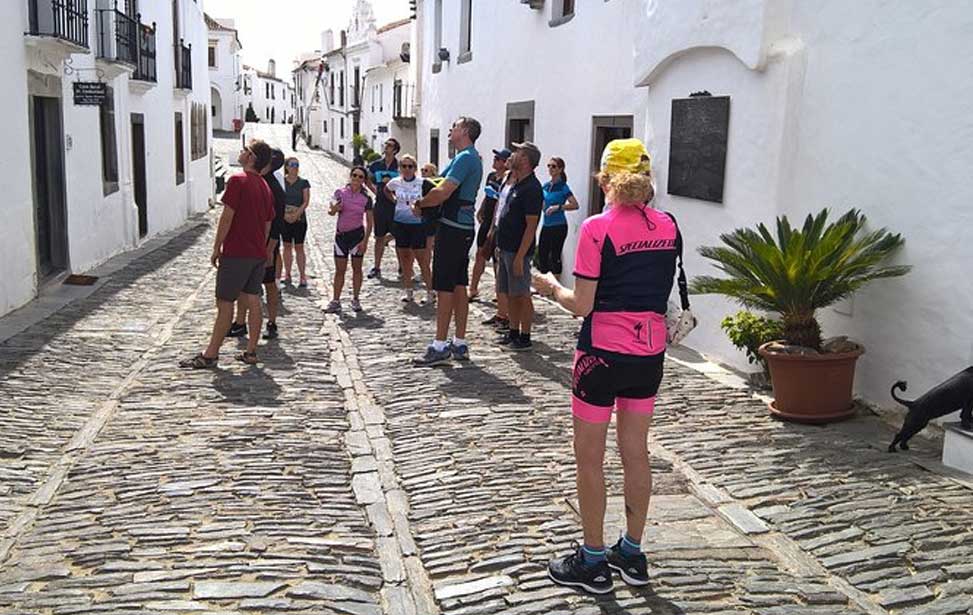
Moura is a thermal spa town close to the Alqueva dam and reservoir. It sits within a highly agricultural area and the town centre boasts magnificent mansions and quaint little squares. The Moors, who were here for 400 years until 1232 have left their mark on the town's architecture. An ancient well in the old town is a remnant from those times. Moura takes its name from a Moorish girl, Moura Saluquia, grief-stricken at the news of the death of her betrothed, threw herself from the castle tower. The town's Mouraria (Moorish quarter) is one of the best-preserved in southern Portugal, consisting of an alley and three streets of narrow, cobbled lanes with low whitewashed cottages featuring strange turretted chimneys. The town attained wealth following the discovery of thermal springs which continue to be used to this day. They are located next to the Jardim Doutor Santiago public gardens.
There is a fine example of Manueline architecture close to the public gardens in the guise of the Igreja de São João Baptista. Its portal is typically ornate. The bell tower has a curious-looking balcony that overlooks the small square in front. Inside there are 17th-century tile panels that originate from Seville.
Not far from the springs are the remains of the castle that was built by Dom Dinis over a Moorish stronghold. The castle fell foul to the cannons of the Spanish Duke of Osuna in 1701. Many of the walls have survived as did a tall tower. The castle grounds have been tastefully landscaped and include a curious-looking clock tower. Also here are the ruins of the Convento das Freiras Dominicanas, a small museum dedicated to Moura-born author Alberto Gordillo and extensive views across the surrounding landscape. [ More About ► ]
| Alqueva Lake
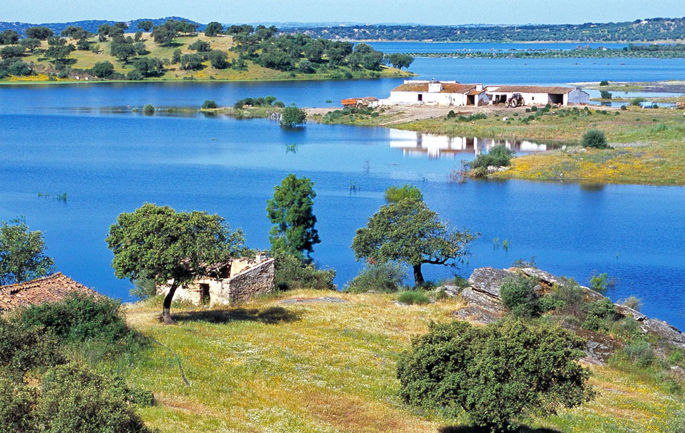
Europe's largest manmade lake was created in 2002 amongst public criticism and public contention. The Rio Guadiana river is stopped in its tracks by the Barragem de Alqueva (Alqueva Dam) flooding. an area of 250 square kilometres (of which 69 square kilometres are in Spain). This expansive reservoir was created to provide continuous irrigation to an arid region, provide drinking water for the Algarve as well as offer opportunities for tourism and leisure activities. The dam contains a hydroelectric plant to provide enough electricity to supply the Évora and Beja districts.
However, these advantages came at a great cost to the environment with the destruction of over a million oak and cork trees, and the habitats of birds of prey and the elusive Iberian Lynx. Over 200 pre-historic monuments have. been submerged as well as the former village of Luz.
This new watery landscape has brought new opportunities to the area and is attracting visitors, and new money, to the area. There are several trips and activities available on the lake, such as boating, water-skiing and canoeing, whilst its shores offer beautiful beaches and ideal swimming conditions. [ More About ► ]
The village of Barrancos is located on the left bank of the Guadiana river bordering Spain. The land here is unforgiving, the warmest and driest in Portugal. The schist soil is ideal for the cork plantations that dominate the area. Black pigs feed on the acorns and form an important feature in the region's cuisine, most famously Presunto (dry-cured ham). Agriculture is the main source of income and the region remains undeveloped. Bullfighting is still practised here and forms the highlight of the summer festivals.
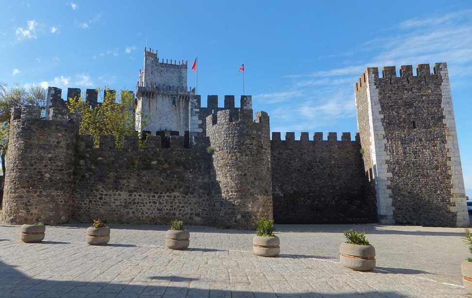
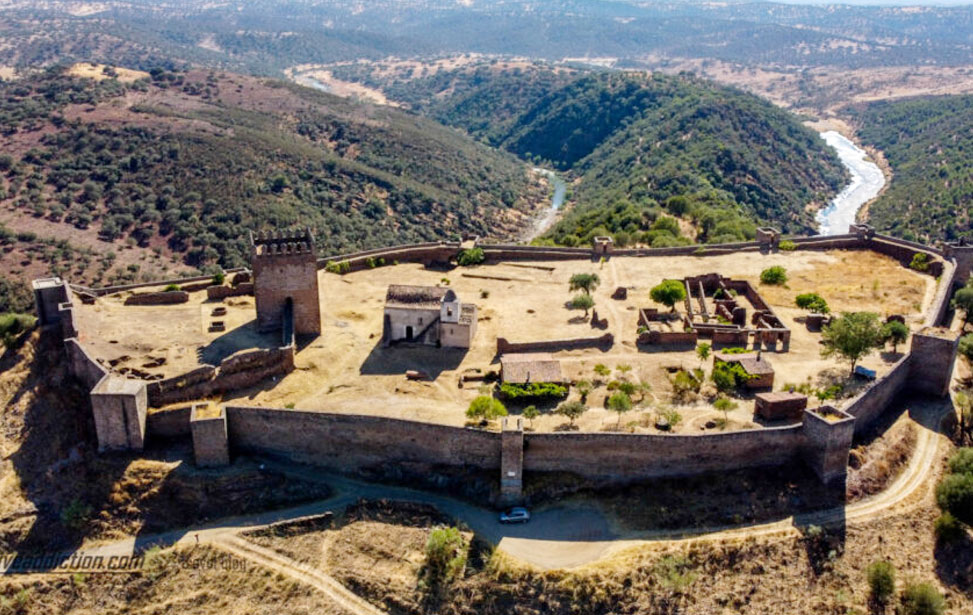
Walls seven metres tall encircle the village and harbour several old buildings and churches of interest within. A local dialect is spoken here called Barranquenho which is a blend of Spanish and Portuguese. The region was wrestled from the Moors in 1167, by Gonçalo Mendes da Maia and the populace inhabited the nearby fortified village of Noudar. By the early 19th-century constent threats from Spain had ceased and Noudar was totally abandoned in favour of Barrancos. Today the Castelo de Noudar still overlooks the Spanish border formed by the Ardila river in the valley below. The area is now popular with walkers and rural tourism.
| Noudar Castle
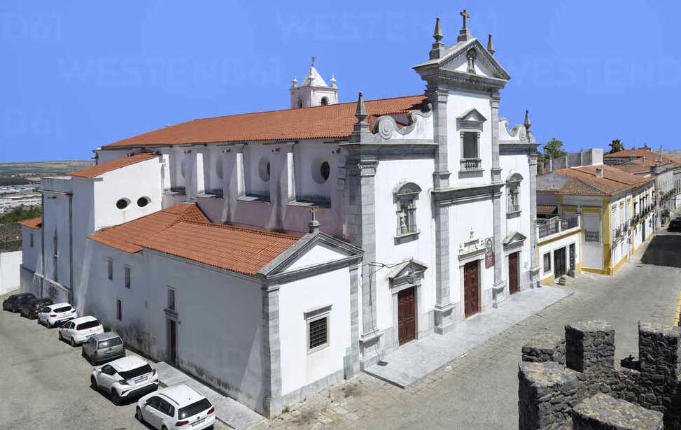
| Beja Cathedral
Beja was already an important settlement when the Romans arrived here in 48 BC and named the town Pax Julia by Julius Caesar. Beja continues to be the centre of commerce and authority, in the Baixo (lower) Alentejo. Its commanding location overlooking the plains below has witnessed many invaders who each, in turn, have left their mark. As with many other Portuguese medieval towns, Beja's encircling defensive walls still stand. The walls or "Muralhas" have seven gates or "portas"; Évora, Aviz, Mórtola, Aljustrel, Moura, São Sisenando and Corredoura. Once inside the old town, one is treated to narrow streets lined with whitewashed old buildings, covered arcades and charming squares. Ancient monuments are well preserved such as a beautiful convent and a thirteenth-century castle. Relax into the slow pace of life in Beja and take your time enjoying the local sights and the excellent cuisine and wines found in the many restaurants and eateries.
[ More About ► ]
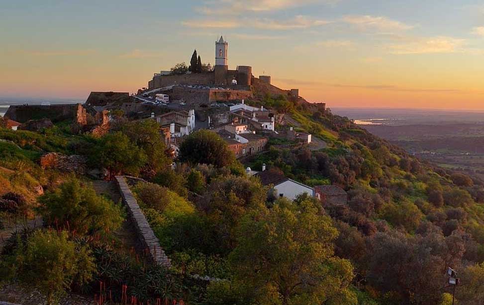
Thirty kilometres (20mi) east of Beja rests this sleepy quintessentially Alentejan border town. Its proximity to Spain, has over the centuries, precipitated the need for substantial fortifications. At the highest point of the town, sits the remains of a castle that has seen more than its fair share of action. The labyrinth of medieval narrow cobbled streets lined with brightly whitewashed houses occasionally open up into charming squares. Located on high ground a few miles from the Guadiana river Serpa is known to have been settled long before Roman times.
One of the greatest pleasures of Serpa is simply strolling around the ancient meandering streets of the old town contained within medieval walls and absorbing its sleepy atmosphere. In the late 13th century, soon after the border with Castile had finally been established, Serpa was awarded its first charter and took on the role of a frontier town. It was throughout this period, during the reign of King Dinis, that the Castle was strengthened and the perimeter ramparts were built. Originally these formidable walls contained five entry gates, of which only two now remain, the Moura and Beja Gates.
Centre of the Serpa old town is the Praça da República the best place to have a spot of lunch and enjoy the relaxed atmosphere. Outside the oldtown walls to the south is the well landscaped Jardim Abade Correia da Serra public gardens where one can see ancient olive trees and enjoy some shade. The Museu Etnográfico presents an engaging narrative of the evolving economic activity of the area, with displays of agricultural tools, olive presses and regional costume. [ More About ► ]
| Crato
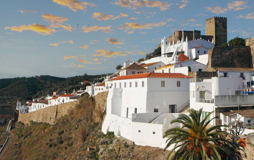
| Mértola
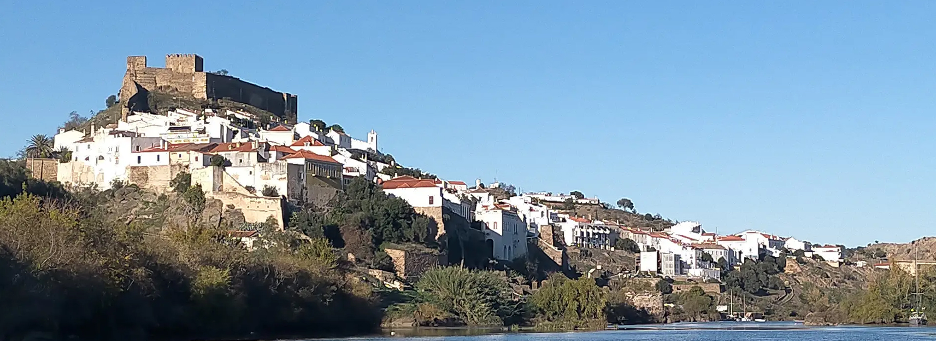
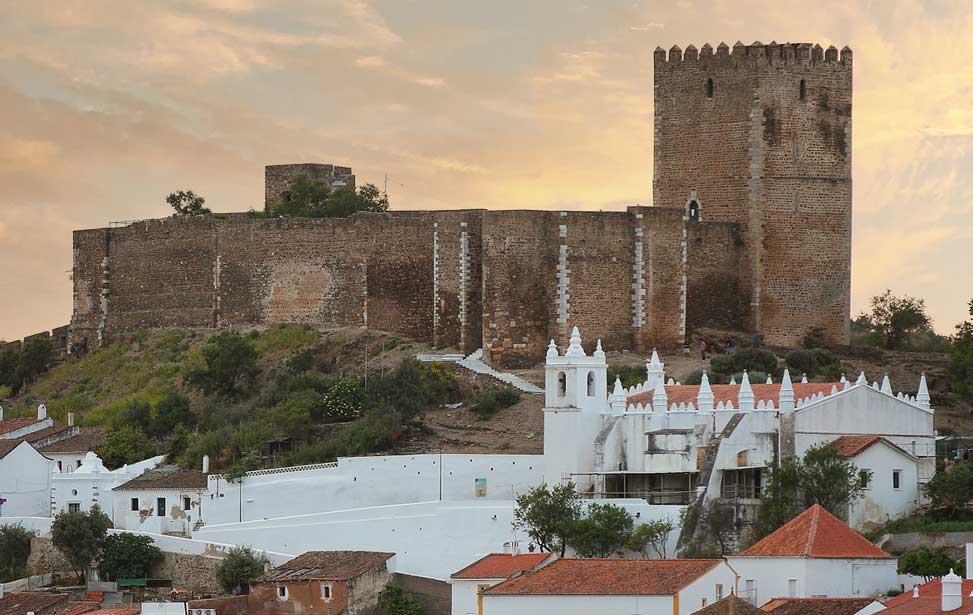
Surmounted on the slopes above the Guadiana river, its tributary the Oreias, at an elevation of 85 metres (280ft) is the beautiful town of Mértola. The Romans has a settlement here which they called Mirtilis. The Moors were here too who recognised the strategic quality of the town and created formidable defences. Located 56 km (41mi) upstream from where the Guadian meets the sea at Vila Real de Santo António, Mértola is the most inland port on the river. The town gained wealth and importance as the region's trading hub for the region's mineral riches. Following a period of decline, Mértola has been lovingly restored and operates as a living museum and a champion of traditional arts and crafts.
Occupying the high ground in town overlooking the valley below is the castle and remains of the old walled town. The current castle was built in the 13th-Century on the foundations of a Moorish citadel (alcáçova), which in turn was constructed over a Roman fortress. A small fee gets you through the arched gateway and winding entrance into the inner ward overlooked by the mighty keep (Torre de Menagem). Inside there's a pleasant museum that exhibits a collection of architectural artefacts dating from between the 6th and 10th centuries BC. The keep maintains some vestiges of its Moorish origins and a climb to the top will be rewarded with breathtaking views. [ More About ► ]
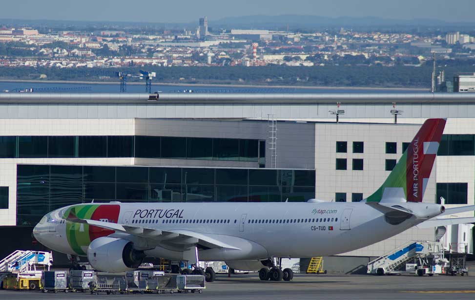
There are three realistic airport options when travelling to the Alentejo. Lisbon, with good public transport links, Faro in the Algarve and Badajoz in Spain, with connections with major Spanish airports. Sadly the airport in Beja has still yet to attract commercial airlines. There are three realistic airport options when travelling to the Alentejo. Lisbon, with good public transport links, Faro in the Algarve and Badajoz in Spain. Sadly the airport in Beja has still yet to attract commercial airlines. GET A GREAT DEAL ON FLIGHTS: |
|
Since joining the EU Portugal has seen a vast improvement in its road network with the addition of a fine motorway network which speedily takes you from the major cities to the area you want to visit. In 2015, the country's road network was named as being the best in Europe and the second best in the world. For the more adventurous drivers, there is plenty of more rural windy yet very scenic roads available.
GET A GREAT DEAL ON CAR HIRE: |
|
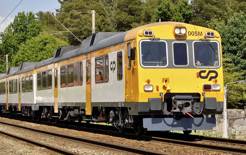
Linha da Beira Baixa (comboios regionais): Regular trains to Belver, following the course of the river Tejo before turning north into the Baira Baixa. Train Timetable. |
|
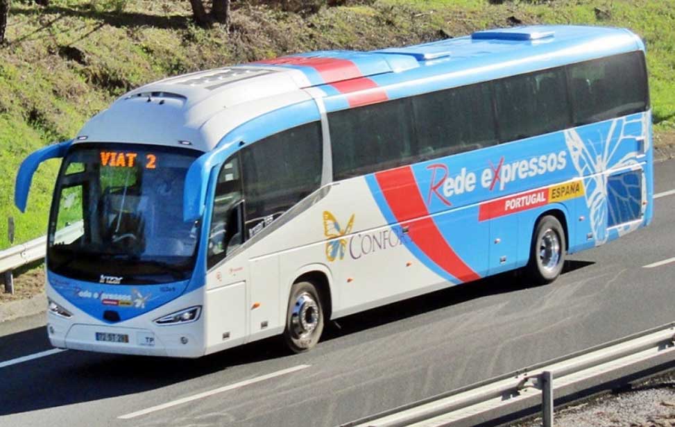
• Rede Expressos run nationwide coach services within Portugal.
Website |